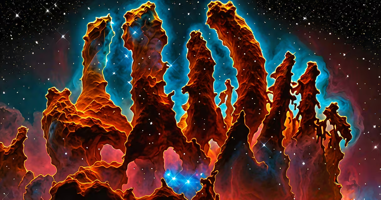
Images of space are high-resolution visual records of celestial objects and phenomena captured by telescopes, satellites, and spacecraft. These images reveal stars, galaxies, nebulae, and planetary systems beyond Earth's atmosphere, often processed to improve contrast, color, and detail.
Space images originate from electromagnetic radiation-visible light, infrared, ultraviolet, and X-ray-detected by instruments aboard orbiting observatories. Unlike photographs taken with consumer cameras, these images are typically constructed from multiple exposures and spectral data, then translated into visual form using software algorithms. The result is not a direct photograph but a scientifically calibrated representation of invisible wavelengths.
The Hubble Space Telescope, launched in 1990, remains one of the most prolific sources of public-facing space imagery. Its Wide Field Camera 3 captures light across visible and near-infrared spectrums, enabling detailed views of star-forming regions like the Orion Nebula. Similarly, the James Webb Space Telescope, operational since 2022, observes primarily in infrared, allowing it to peer through cosmic dust and detect light from the earliest galaxies formed 13 billion years ago.
Raw data from space-based sensors is collected in digital form-often as grayscale intensity values across thousands of pixels. Each pixel corresponds to a specific wavelength of light. Scientists assign false colors to different wavelengths to make patterns visible. For example, hydrogen emissions appear red, oxygen green, and sulfur blue in many nebular images.
This process is not arbitrary. The color assignments follow established scientific conventions based on atomic emission lines. A famous example is the Pillars of Creation in the Eagle Nebula, where red represents ionized hydrogen (H-alpha), green shows doubly-ionized oxygen, and blue indicates singly-ionized sulfur. These choices allow researchers to identify chemical composition and physical conditions in interstellar clouds.
Image processing involves removing noise, correcting distortions from lens optics, and aligning overlapping frames. Software tools like IRAF and Python libraries such as Astropy handle these tasks. Final composites may combine dozens of individual exposures to increase signal-to-noise ratio and resolve faint structures.
Space images fall into distinct categories based on their origin and purpose:
| Type | Source | Wavelength Range | Example |
|---|---|---|---|
| Optical | Hubble, ground telescopes | 380-750 nm | Galaxy cluster Abell 2744 (Hubble) |
| Infrared | James Webb, Spitzer | 700 nm - 28 μm | Carina Nebula (Webb) |
| X-ray | Chandra, NuSTAR | 0.1-10 keV | Crab Nebula (Chandra) |
| Radio | ALMA, VLA | 1 mm - 1 m | Milky Way center (ALMA) |
Each type reveals different aspects of cosmic structure. Optical images show surface features and starlight. Infrared images expose dust-shrouded star formation. X-ray images show extreme environments like black hole accretion disks. Radio waves trace cold molecular gas and magnetic fields.
A common misconception is that all space images are "real" in the sense of being direct camera snapshots. In reality, nearly every published image involves significant post-processing. Even the iconic "Pillars of Creation" image required 26 separate exposures and color mapping to produce the final version seen worldwide.
Images of space serve both scientific and cultural roles. They inform research by revealing large-scale structures, galactic interactions, and exoplanet atmospheres. For example, Hubble's observations of Type Ia supernovae helped confirm the universe's accelerating expansion-a discovery that earned the 2011 Nobel Prize in Physics.
Culturally, these images inspire public interest in astronomy. The "Pale Blue Dot" photo, taken by Voyager 1 from 6 billion kilometers away, became a symbol of Earth's fragility. NASA's "Earthrise" image from Apollo 8 similarly reshaped environmental awareness.
One non-obvious fact: many space images are not in color at all during capture. The human eye sees only visible light, but space contains vast amounts of radiation outside that range. Instruments detect these signals, and scientists assign colors to represent data that cannot be seen directly. This is why the "red" in a nebula image is not necessarily the color of light emitted-it's a label for a specific wavelength.
People often assume that space images are unaltered or that they depict what the human eye would see if we were present. That is rarely true. In the absence of atmosphere, lighting, and perspective, space lacks familiar visual cues. Colors are enhanced for clarity, and contrast is increased to emphasize subtle details.
Another confusion arises between simulated images and observational ones. Simulations, such as those modeling galaxy collisions or black hole accretion, use physics equations and render results in realistic styles. These are not raw data-they are visualizations of theoretical models. Distinguishing them from actual observations is essential for accurate interpretation.
I once reviewed a viral image claiming to show a "new planet" in our solar system. After checking the metadata, I found it was a simulation from a research paper, not a real observation. The image had been mislabeled and shared without context. This highlights the need for critical evaluation of space imagery, especially online.
Reputable sources include NASA's Image and Video Library, ESA's Hubble archive, and the public data portals of the James Webb Space Telescope. All provide downloadable files with full technical metadata, including exposure time, filter used, and coordinate reference systems.
For example, the Hubble Legacy Archive offers over 1 million processed images, each tagged with object name, coordinates, and instrument settings. Researchers and educators use these to study stellar evolution, dark matter distribution, and cosmic expansion rates.
When exploring images of space, always verify the source. Misinformation spreads quickly when false-color data is presented as literal vision. A single image can influence public understanding of climate change, space policy, or scientific funding.
Understanding how images of space are made-through detection, calibration, and visualization-reveals the science behind the beauty. The same technologies that generate these images also support missions to Mars, monitor Earth's climate, and track near-Earth asteroids.