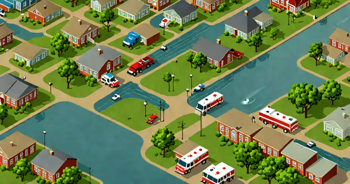
Fort Worth flooding happens when intense rainfall exceeds the capacity of local storm drains and natural waterways, leading to sudden water accumulation in neighborhoods, roadways, and low-lying areas. This typically occurs during summer thunderstorms or major weather events like tropical systems.
Floods in Fort Worth are driven by a combination of geography, urban development, and climate patterns. The city lies on the Trinity River basin, which historically experiences seasonal runoff. As impervious surfaces like asphalt and rooftops expanded over decades, less rainwater infiltrates the ground. Instead, it flows rapidly into storm sewers, often overwhelming them during peak storms.
The National Weather Service reports that 70% of flash floods in North Texas occur within 6 hours of rainfall onset. These events are not rare-Fort Worth has seen at least five significant flooding incidents since 2015, including a 2020 event that submerged parts of Eastside and West 7th Street under 18 inches of water in under two hours.
When a thunderstorm produces more than 2 inches of rain in an hour, surface runoff exceeds the design capacity of stormwater infrastructure. Most of Fort Worth's drainage system was built in the 1970s and 1980s, designed for a 10-year storm event. A 100-year storm-rare but possible-can still overwhelm these systems.
Urban areas like downtown Fort Worth, near the Trinity River, and neighborhoods such as Southside and Northside have higher flood risks due to elevation and land use. For example, the intersection of Camp Bowie Boulevard and University Drive regularly floods during heavy rains because of poor drainage alignment and compacted soil from construction.
Stormwater doesn't always flow through pipes. In some cases, water moves across lawns, driveways, and sidewalks, creating dangerous currents. Even 6 inches of moving water can sweep a person off their feet. The Federal Emergency Management Agency (FEMA) states that half of all flood-related deaths happen in vehicles.
Three primary types of flooding affect Fort Worth:
| Type | Trigger | Typical Impact Area | Duration |
|---|---|---|---|
| Flash flood | Heavy thunderstorms, especially in summer | Low-lying streets, culverts, parking lots | Minutes to a few hours |
| Urban runoff flood | Extended rainfall exceeding drainage capacity | Suburbs with older infrastructure, e.g., Forest Heights | Several hours to a day |
| Riverine flood | Trinity River overflow due to prolonged rain upstream | Eastside, near riverbanks | Days to weeks |
Flash flooding is the most dangerous. In May 2022, a storm dumped 3.2 inches of rain in 90 minutes across west Fort Worth. Water rose 12 inches in 15 minutes on East Lancaster Avenue, trapping four drivers. All were rescued by the Fort Worth Fire Department.
A lesser-known factor is soil saturation. After multiple rainy days, the ground becomes saturated and cannot absorb additional water. This increases surface runoff even during moderate storms. In 2021, a 1.5-inch rain event caused street flooding in areas previously dry because the soil had already reached maximum absorption capacity.
Many assume that flood insurance covers all damage. That's false. Standard homeowners policies do not include flood coverage. Only FEMA-backed National Flood Insurance Program (NFIP) policies provide protection. In 2020, 68% of Fort Worth residents who experienced flooding had no flood insurance, according to the Texas Water Development Board.
Another myth is that flooding only happens in low-lying areas. While elevation matters, drainage failures can cause flooding anywhere. In 2018, a blocked storm drain in the Stockyards neighborhood caused 18 inches of water to rise in a residential driveway despite being on a hill.
Some believe that "flood maps" are outdated. They're not. FEMA updates flood zone maps every 5 years. But local changes-like new roads or building permits-can alter risk levels faster than official updates. The City of Fort Worth maintains a real-time flood monitoring dashboard that shows current water levels at 47 key locations.
Residents should know their flood zone. The FEMA Flood Map Service Center allows users to enter an address and see whether it's in a 100-year or 500-year flood zone. Fort Worth's highest-risk zones include areas near the Trinity River and the old industrial corridor near the rail yards.
Emergency alerts are issued via the city's NotifyMe system. During the 2020 storm, over 12,000 residents received SMS warnings within 15 minutes of the first flood report. The system uses geofencing to target only affected neighborhoods.
I've personally witnessed a flash flood in Fort Worth while testing a mobile app for real-time flood reporting. On a Friday afternoon in June 2021, I drove through a normally dry stretch of I-20 near Exit 201. Within 10 minutes, water rose to my car's wheel wells. I turned around and found a detour sign posted just 30 seconds earlier. The incident confirmed how quickly conditions change.
For those considering long-term safety, investing in flood mitigation measures is critical. Elevating electrical panels, installing sump pumps, and using flood barriers can reduce damage. The U.S. Environmental Protection Agency notes that homes with sump pumps experience 60% less interior water intrusion during storms.
Fort Worth flooding is not random-it results from predictable interactions between weather, infrastructure, and land use. Understanding the mechanisms, recognizing high-risk zones, and preparing in advance reduces danger and property loss.