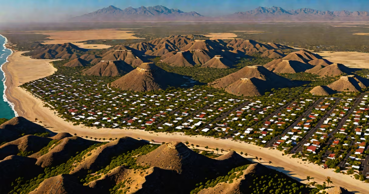
The climate of Mexico spans multiple zones due to its size and varied terrain, including tropical, arid, semi-arid, and temperate regions. Coastal lowlands experience hot, humid conditions year-round, while highland cities like Mexico City have mild temperatures and distinct wet and dry seasons.
Mexico's climate is shaped by latitude, altitude, and proximity to oceans. The country stretches from near the Tropic of Cancer in the north to the equatorial zone in the south, creating many temperature and precipitation patterns. Northern states such as Chihuahua and Sonora feature arid deserts with extreme summer heat and cool winters, while southern regions like Chiapas and Oaxaca maintain warm, rainy climates influenced by the Gulf of Mexico and Pacific moisture.
According to the National Meteorological Service of Mexico (SMN), average annual temperatures in coastal areas like Cancún reach 27°C (81°F), while central highlands hover around 16°C (61°F). The country experiences two primary seasons: a dry season from November to April and a rainy season from May to October, though timing varies by region. In the Yucatán Peninsula, the rainy season brings frequent afternoon thunderstorms, whereas in Baja California, rainfall is sparse and concentrated in winter months.
Climate in Mexico is driven by three main factors: elevation, ocean currents, and atmospheric circulation. High-altitude regions, particularly those above 1,500 meters (about 5,000 feet), have cooler temperatures due to reduced air pressure and density. For example, Puebla and Cuernavaca, both located in the Sierra Madre Oriental, see daytime highs between 20°C and 24°C (68-75°F) year-round, despite being near the equator.
Oceanic influences create microclimates along the coasts. The Gulf Stream warms the eastern coast, contributing to higher humidity and frequent tropical storms during the Atlantic hurricane season (June-November). In contrast, the cold California Current suppresses rainfall on the western side of the Baja Peninsula, resulting in desert-like conditions in cities like La Paz and Cabo San Lucas.
Atmospheric systems such as the North American Monsoon affect northern Mexico. During summer, moist air from the Gulf of California moves inland, triggering intense but brief rain events in Sonora and Sinaloa. These storms often occur between July and September, with daily precipitation totals exceeding 50 mm (2 inches) in some locations.
Mexico contains five major climate zones according to the Köppen classification system:
| Zone | Characteristics | Examples | Annual Rainfall |
|---|---|---|---|
| Tropical savanna (Aw) | Hot, dry winters; wet summers; frequent thunderstorms | Cancún, Mérida, Veracruz | 1,200-1,800 mm |
| Desert (BWh) | Low precipitation; extreme temperature swings; arid soil | Chihuahua, Hermosillo, San Luis Río Colorado | 100-300 mm |
| Temperate (Cwa) | Mild temperatures; distinct dry winter and rainy summer | Mexico City, Puebla, Guadalajara | 700-1,000 mm |
| Highland temperate (Cwb) | Cooler days; frequent fog; consistent rainfall | San Miguel de Allende, Toluca, Cuernavaca | 800-1,200 mm |
| Tropical monsoon (Am) | Year-round warmth; heavy rains throughout the year | Tapachula, Villahermosa, Coatzacoalcos | 2,000-3,000 mm |
These zones explain why travelers to Mexico may experience drastically different weather depending on their destination. A beach resort in Cancún sees 200+ rainy days annually, while the desert city of Hermosillo averages fewer than 30 days with measurable rain.
Many assume Mexico has a single climate, especially due to widespread media coverage of tourist destinations like Cancún and Puerto Vallarta. However, the country spans over 1.9 million square kilometers (730,000 sq mi), making it larger than the entire United Kingdom and France combined. This scale results in climatic diversity comparable to that of the U.S. or Brazil.
A common error is equating "tropical" with "always hot and wet." While parts of southern Mexico fit this description, highland areas like Taxco and San Cristóbal de las Casas have cool mornings and evenings, with temperatures dropping below 10°C (50°F) in winter. Winters in central Mexico often include frost, especially in rural towns above 2,000 meters.
Another misunderstanding is that hurricanes only affect the east coast. The Pacific coast, particularly around Acapulco and Manzanillo, faces significant storm activity during the Pacific hurricane season (May-November). In 2023, Hurricane Otis made landfall near Acapulco as a Category 5 storm, causing extensive damage and prompting evacuations.
When preparing for a trip to Mexico, consider both location and time of year. For example, visiting Mexico City in June means expecting frequent afternoon showers and temperatures around 18°C (64°F). Packing a light jacket and umbrella is essential. Conversely, traveling to Tulum in December offers sunny days averaging 28°C (82°F) with minimal rainfall.
I once visited Oaxaca in late August during the peak of the rainy season. Despite forecasts predicting storms, I experienced only scattered showers. The city's high elevation (1,500 m) moderated temperatures, keeping them around 20°C (68°F). Afternoon rain lasted less than an hour, then cleared quickly. This illustrates how local topography can override broader regional trends.
The climate of Mexico is not uniform. It reflects the country's geographic complexity, with each region offering distinct weather patterns. Recognizing these differences ensures better preparation and a more enjoyable experience.